Tesla Reveals Plans to Build Proprietary Maps for FSD System
The automaker's leadership confirmed during a quarterly earnings call that the company is developing its own mapping technology to address navigation and speed limit issues.
By Fatima Popov ·
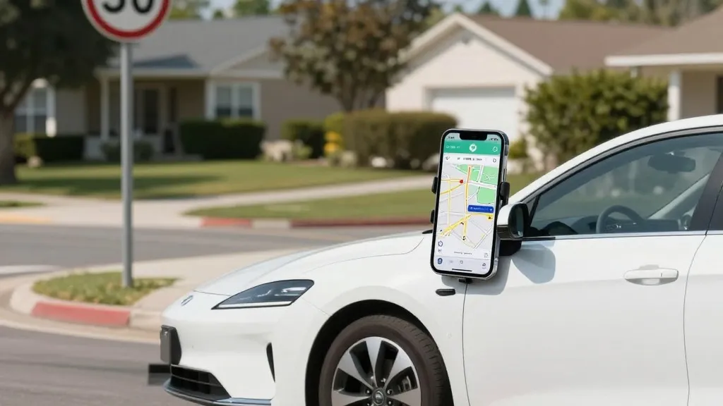
Tesla is preparing to construct its own mapping infrastructure to address persistent issues with its Full Self-Driving software, including navigation and parking capabilities. On the Q3 2026 earnings call, the company's head of AI outlined a strategy to utilize data collected by its fleet to create these maps. The effort is intended to resolve specific problems with the system, such as reading speed limits, handling parking, and selecting routes.
During the shareholder Q&A segment, a retail investor inquired about why Tesla continues to depend on third-party maps while acknowledging that mapping issues remain a significant problem for the software. In response, Ashok Elluswamy, the company's VP of AI, stated that "we shouldn't be depending on external people's maps." He explained that Tesla is developing a new AI-based mapping and navigation architecture. This system will be trained on collective data from the fleet and will also learn the preferences of individual drivers while responding to voice commands.
Elluswamy indicated that the technology will begin handling the start and end of trips with FSD v15. Over the following months, the system will assume control over navigation, parking, and destination handling. This shift represents a change in stance for the company. In 2015, when Autopilot launched, Tesla had reportedly started building high-precision maps with a high level of granularity using data from customer cars. However, during its Autonomy Day in 2019, Elon Musk stated that Tesla had attempted high-precision lane maps but realized it was a mistake. He characterized the reliance on such maps as a bad idea that makes a self-driving system extremely brittle.
Critics point out that the issues Tesla is attempting to fix, such as speed limits and parking, are fundamental to understanding the environment. A Belgian road safety group found last month that the system sped in 55% of the 30 km/h zones tested in Brussels, while the NHTSA in the US is weighing an investigation into claims that vehicles speed through active school zones. The company's plan to build a map layer from its own fleet to address these failures indicates that vision alone is not currently performing as intended.
This strategy draws parallels to how Waymo operates. Waymo maps a city by driving sensor-equipped vehicles through it before launching service and keeps those maps updated as its fleet drives. Tesla is now describing the same idea: its cars collect what they see, and that data feeds a Tesla-built map that helps every car drive better. The primary difference is that Waymo's cars utilize lidar. The company's Robotaxi service operates city by city inside small geofenced service areas, with Tesla handling the fleet operations. While Tesla is not talking about centimeter-level HD maps today, a fleet-built map that keeps getting more detailed could easily head that way.
Source: Electrek · original report published